
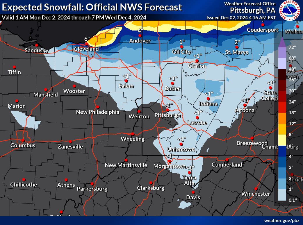
Pennsylvania is already under a thick layer of snow, and the winter weather isn’t over yet. Heavy snowfall has created significant accumulations across the state, and areas north of I-80 are bracing for more through the end of the week.
What’s Happening: Lake-enhanced snow showers are continuing to sweep through Pennsylvania, adding to already hefty snow totals. While southern parts of the state may only see flurries, areas north of I-80 and higher elevations are forecast to receive additional accumulations of several inches.
The next significant system is expected to arrive Wednesday night, bringing the potential for more heavy snow along the I-80 corridor and into the higher terrains.
Why It Matters: The combination of existing snowpack and new snow could lead to dangerous travel conditions. Slippery roads, reduced visibility, and snow drifts are concerns, especially for those commuting or traveling in affected regions. Schools and businesses could see delays or closures as conditions worsen.
Why This Should Catch Your Attention: Residents in northern Pennsylvania are already contending with significant snow burdens on roofs, driveways, and streets. Additional snow will exacerbate these issues, increasing the risk of structural damage, power outages, and delays in snow removal.
What’s Next: As lake-enhanced snow persists through Tuesday, residents should prepare for midweek impacts. The incoming system on Wednesday night is expected to bring focused snowfall along I-80 and surrounding areas, continuing into Friday.
Ensure your home and vehicles are winter-ready:
• Clear heavy snow from rooftops to prevent collapses.
• Keep emergency supplies on hand, including water, food, flashlights, and extra blankets.
• If traveling, check for road closures and allow extra time for trips.